
Visar alla projekt taggade med: Geografi

Om SO, textbook in Civics, for 7–9th class
Book Design, Graphic Design, Teaching Materials

Theme illustration - Gotland
Watercolor, Collage, Illustration, Editorial

Swedish Camping, illustrated maps
2D, Digital, Illustration, Information Material/Publications, Maps

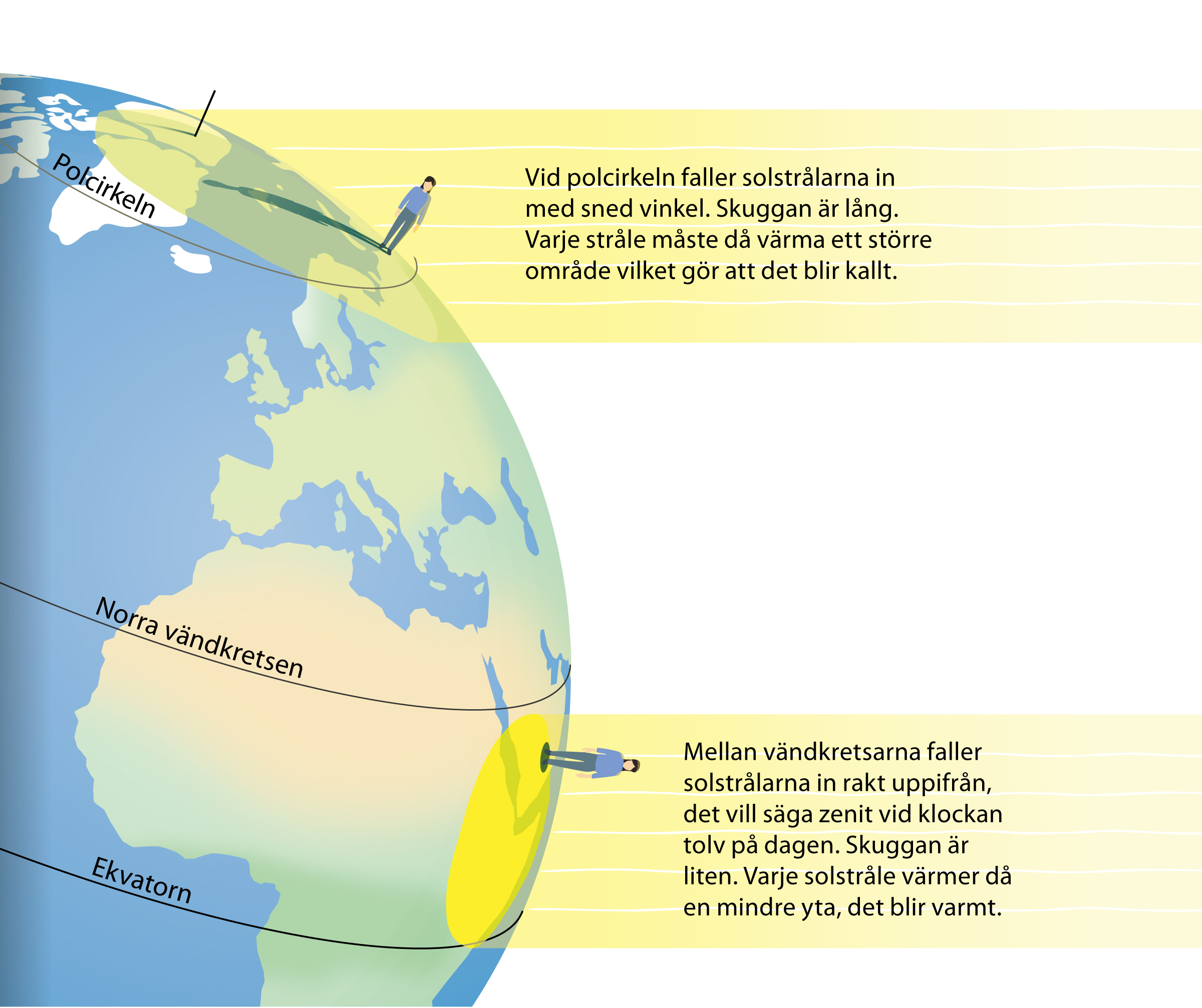
Illustrations, series of textbooks "Om SO"
Digital, Illustration, Teaching Materials


Bretagne
2D, Animation, Maps, Motion Graphics/GIF

(50 countries in one morning)
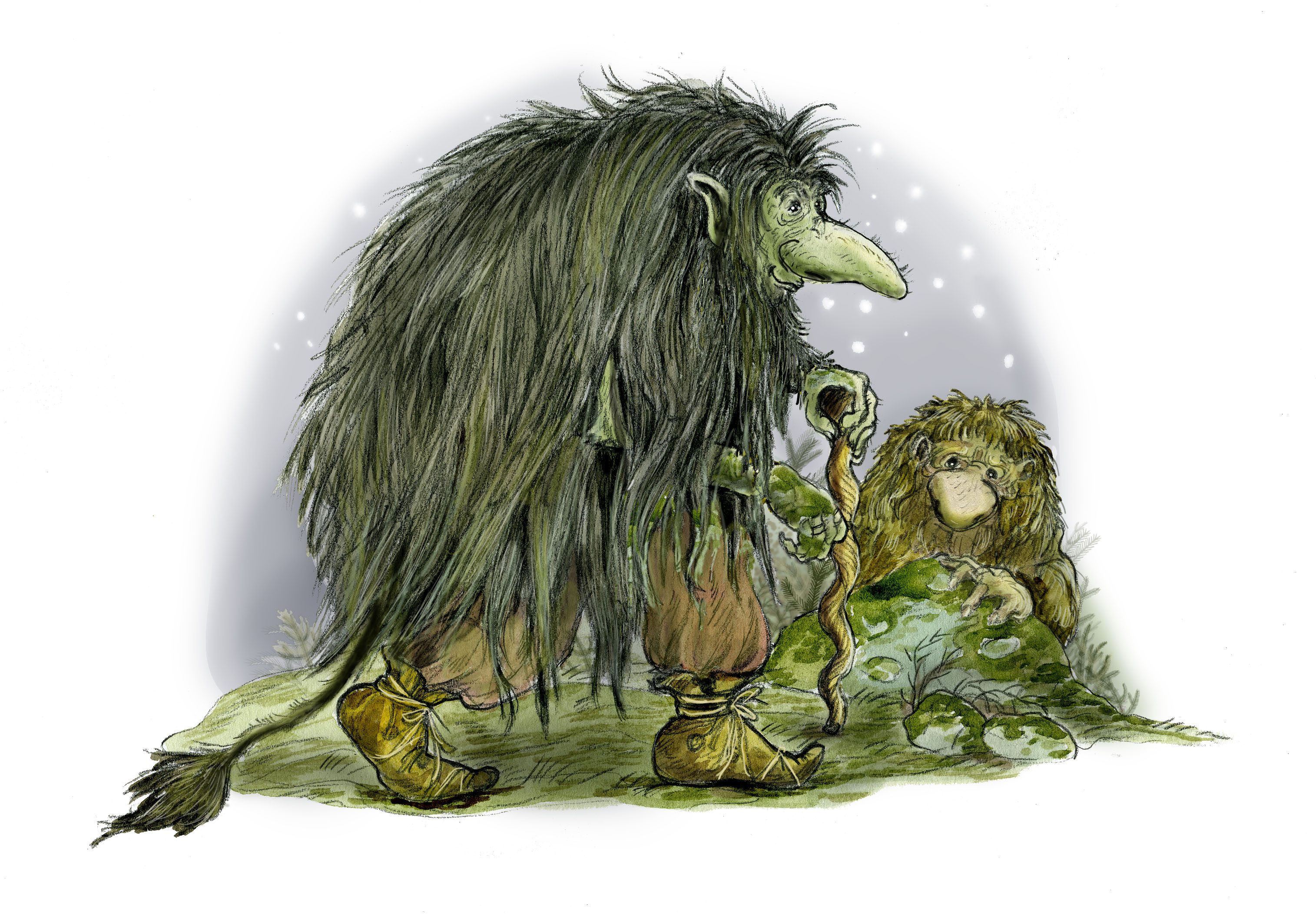
Mixed Media, Book Design, Book Illustration, Illustration

Företagarna
Illustration, Maps, Editorial, Vector

Editorial illustration, science podcasts
Mixed Media, Illustration, Medical/Scientific Illustration, Editorial, Vector

Maps, Dalsland, Dalarna and Värmland
Digital, Illustration, Infographics, Maps
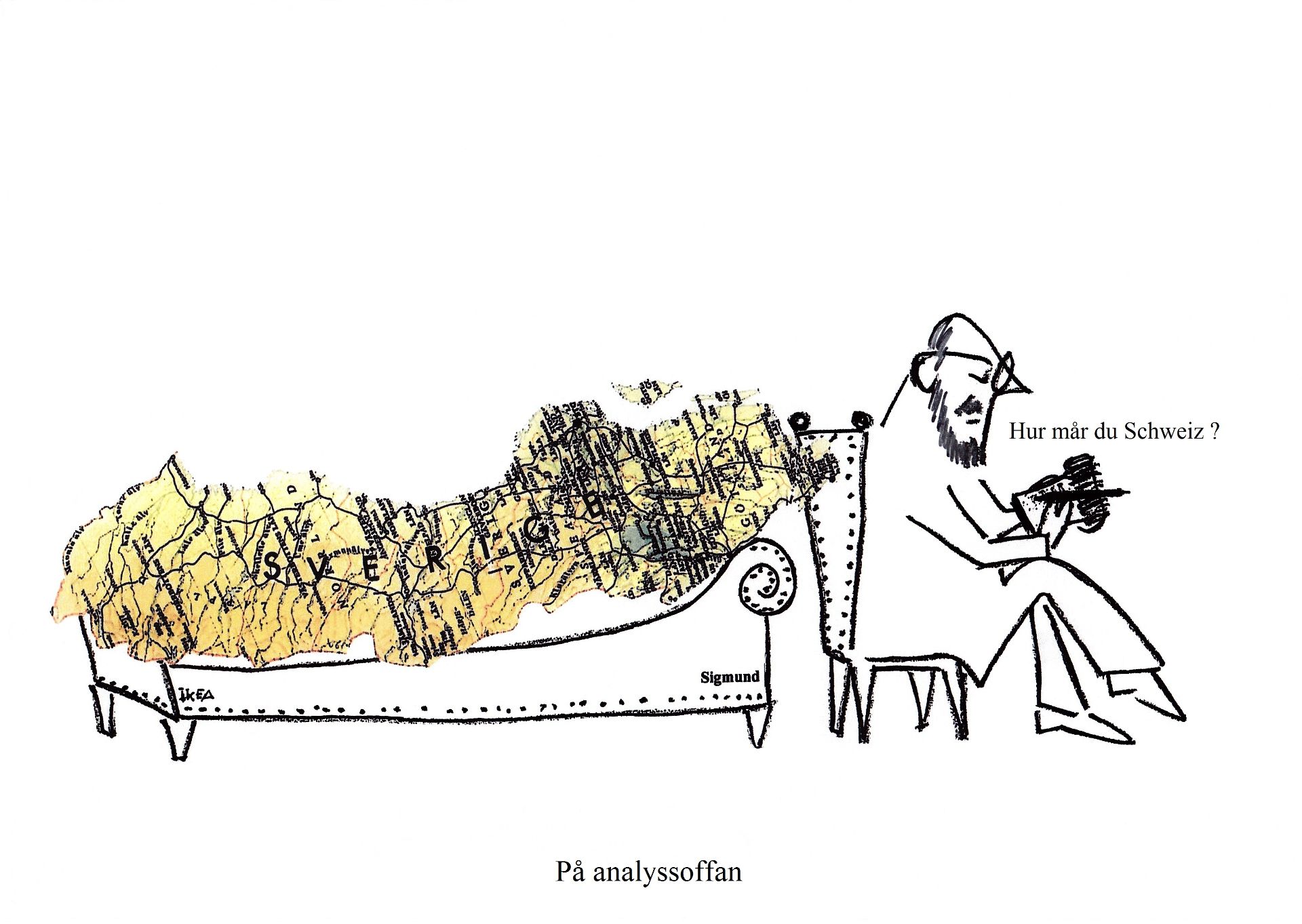
Mixed Media, Collage, Illustration, Editorial, Caricature
3D, Digital, Illustration, Maps, Teaching Materials, Vector

Upplevelsebolaget, book, 2017
Watercolor, Book Illustration, Illustration, Maps
Watercolor, Picture Book, Mixed Media, Book Cover, Illustration